GDACS is a cooperation framework under the United Nations umbrella. It includes disaster managers and disaster information systems worldwide and aims at filling the information and coordination gap in the first phase after major disasters. GDACS provides real-time access to web‐based disaster information systems and related coordination tools.
GDACS is managed by a Steering Committee, currently chaired by Mr. Peter Billing of the European Commission Monitoring and Information Centre in DG Humanitarian Aid & Civil Protection.
Annual GDACS stakeholders meetings are attended by disaster managers, scientists, map experts, webmasters and other professionals, to define standards for information exchange and a strategy for further development of its tools and services.
The Emergency Relief Coordination Centre (ERCC) in the United Nations Office for Coordination of Humanitarian Affairs (OCHA) in Geneva acts as GDACS Secretariat.
What services does GDACS provide?
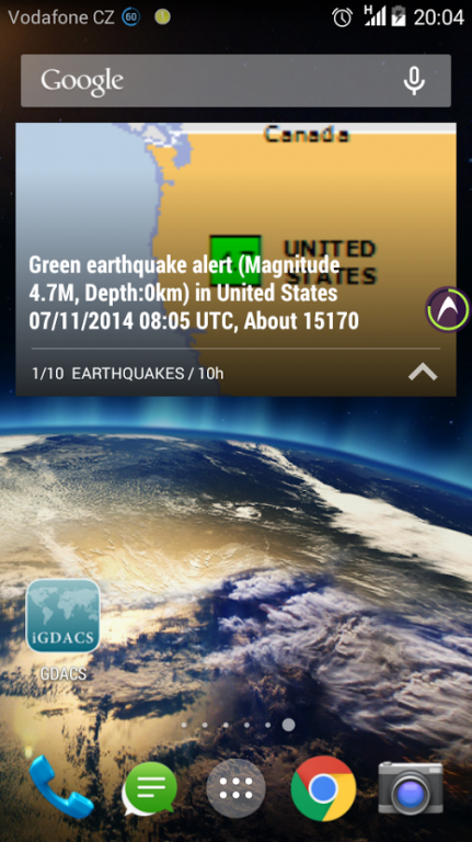
GDACS provides alerts and impact estimations after major disasters through a multi-hazard disaster impact assessment service managed by the European Commission Joint Research Centre. To this end, JRC establishes scientific partnerships with global hazard monitoring organisations. Flood disasters are provided by the Dartmouth Flood Observatory. Relevant data is integrated automatically into GDACS alerts and impact estimations.
GDACS develops standards and guidelines for international information exchange in disasters.
GDACS provides the real-time coordination platform “VirtualOSOCC” (http://vosocc.gdacs.org) to disaster managers worldwide.
GDACS coordinates the creation and dissemination of disaster maps and satellite images. This service is facilitated by the UN Institute for Training and Research (UNITAR) Operational Satellite Applications Programme (UNOSAT). Relevant maps are integrated automatically in VirtualOSOCC disaster discussions.
Detailed weather forecast are provided rapidly on demand by SARWeather and integrated into VirtualOSOCC disaster discussions.
Who uses GDACS?
Many governments and disaster response organisations rely on GDACS alerts and automatic impact estimations to plan international assistance.
Some 14,000 disaster managers from governmental and non-governmental organisations have subscribed to the VirtualOSOCC and use the tool for information exchange and coordination in the first disaster phase.
Many governments and organisations have formalised the use of GDACS tools and services in their national disaster response plans, in particular its automatic alerts and impact estimations and the VirtualOSOCC.
GDACS information is openly accessible through the GDACS platform interfaces. It can be directly integrated into other web portals or websites through RSS feeds or other standard formats.
Why is GDACS so important?
During the first days after major sudden-onset disasters, the affected country and a vast number of international actors collect and analyse information in order to plan their response. This activity is typically carried out simultaneously with varying speed, relevance and accuracy, using multiple information channels and applying different procedures.
During the initial planning phase, there is usually little or no information exchange between international responders. Decisions are often based on patchy information, inaccurate sources or assumptions. The planned or mobilised assistance of other organisations is rarely drawn into consideration. This often results in duplication, gaps, overlap or even inappropriate response, occasionally associated with high costs.
GDACS services aim at facilitating information exchange among all actors in support of decision-making and coordination. GDACS services build on the collective knowledge of disaster managers worldwide and the joint capacity of all relevant disaster information systems.
We do not host GDACS on our servers. We did not scan it for viruses, adware, spyware or other type of malware. This app is hosted by Galad and passed their terms and conditions to be listed there. We recommend caution when installing it.
The APK Download link for GDACS is provided to you by apps112.com without any warranties, representations or guarantees of any kind, so access it at your own risk.
If you have questions regarding this particular app contact the publisher directly. For questions about the functionalities of apps112.com contact us.

|
| ||||
| Downloads: 17 | ||||
| Updated At: 2024-03-05 16:41:43 | ||||
| Publisher: SAR CZ | ||||
| Operating System: Android | ||||
| License Type: Free |